

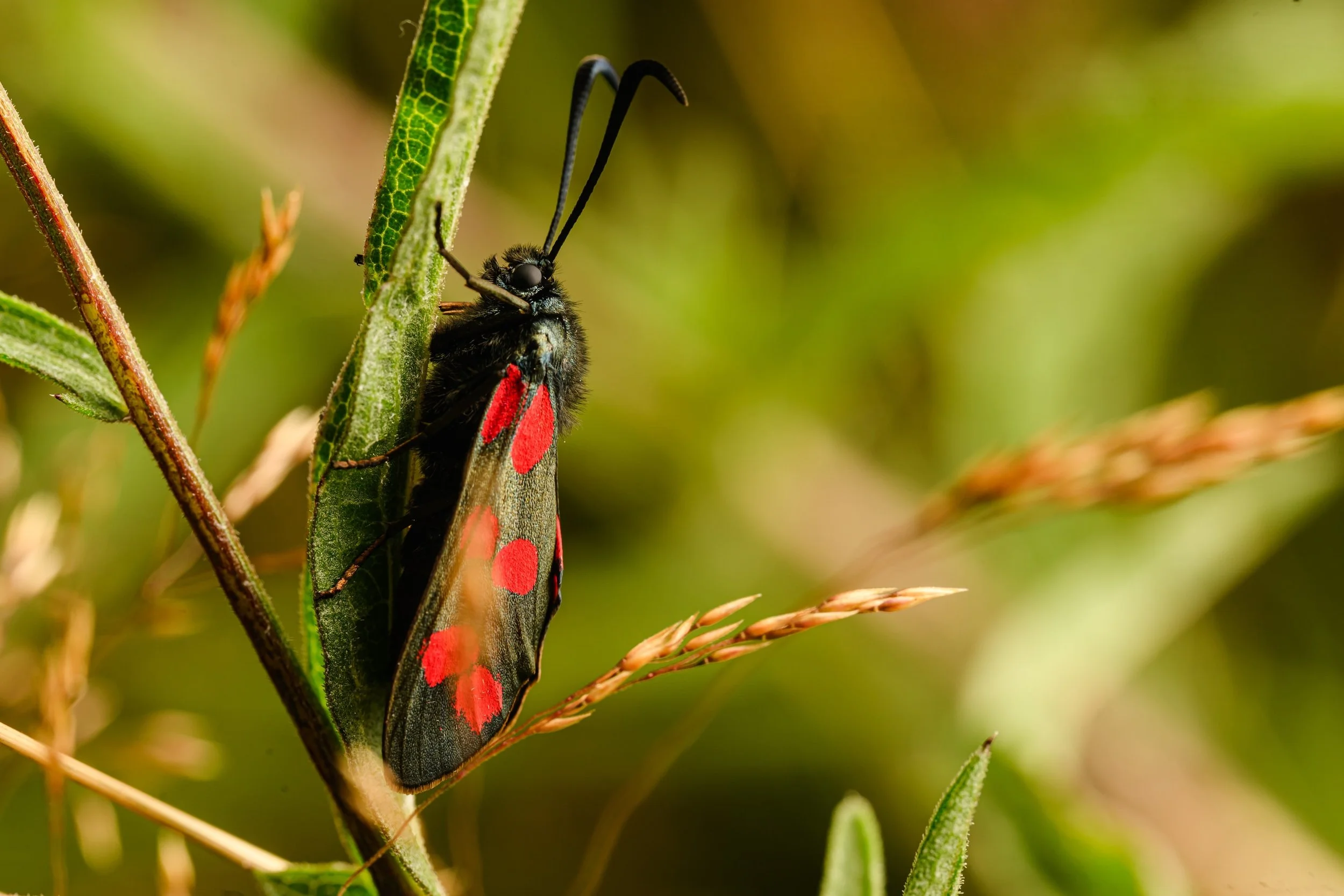

Helping organisations visualise and communicate biodiversity data through live ecological insight.
Software
Floradex analyses insect and plant observations from your site, providing ranked recommendations for trees, shrubs, and flowers to support pollinators and improve ecosystem health.
Clarity from complexity
Simplify complex biodiversity data into easy -to-use maps and accessible data for decision-making and communication.
Built for the long-term
Floradex software uses continuous monitoring, not one-off surveys that harness real data to create long-term change
Designed for biodiversity reporting & engagement
Floradex is a scalable. It supports ongoing biodiversity engagement and reporting, tracking, visualising and communicating biodiversity activity over time.
How it works
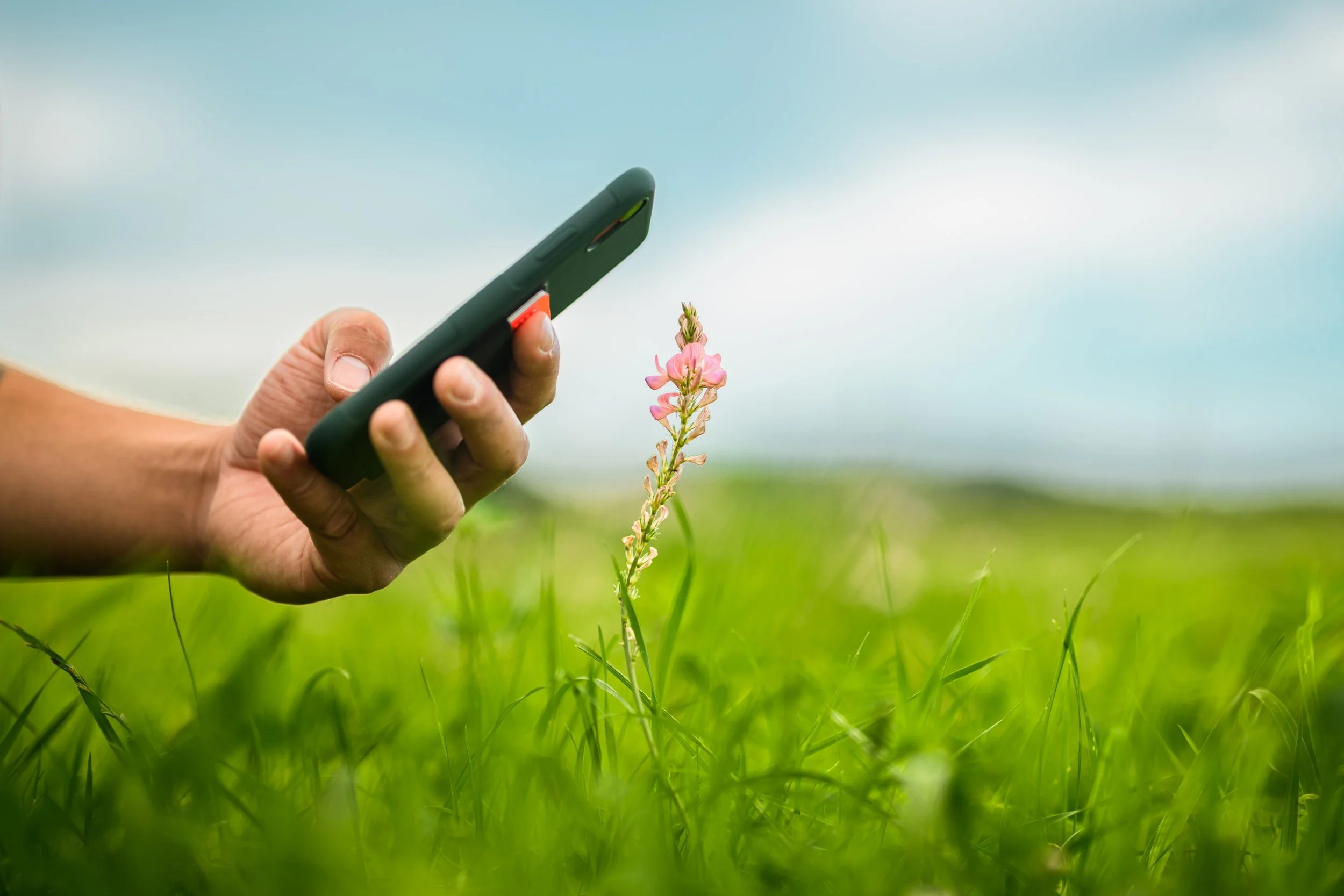
Scan
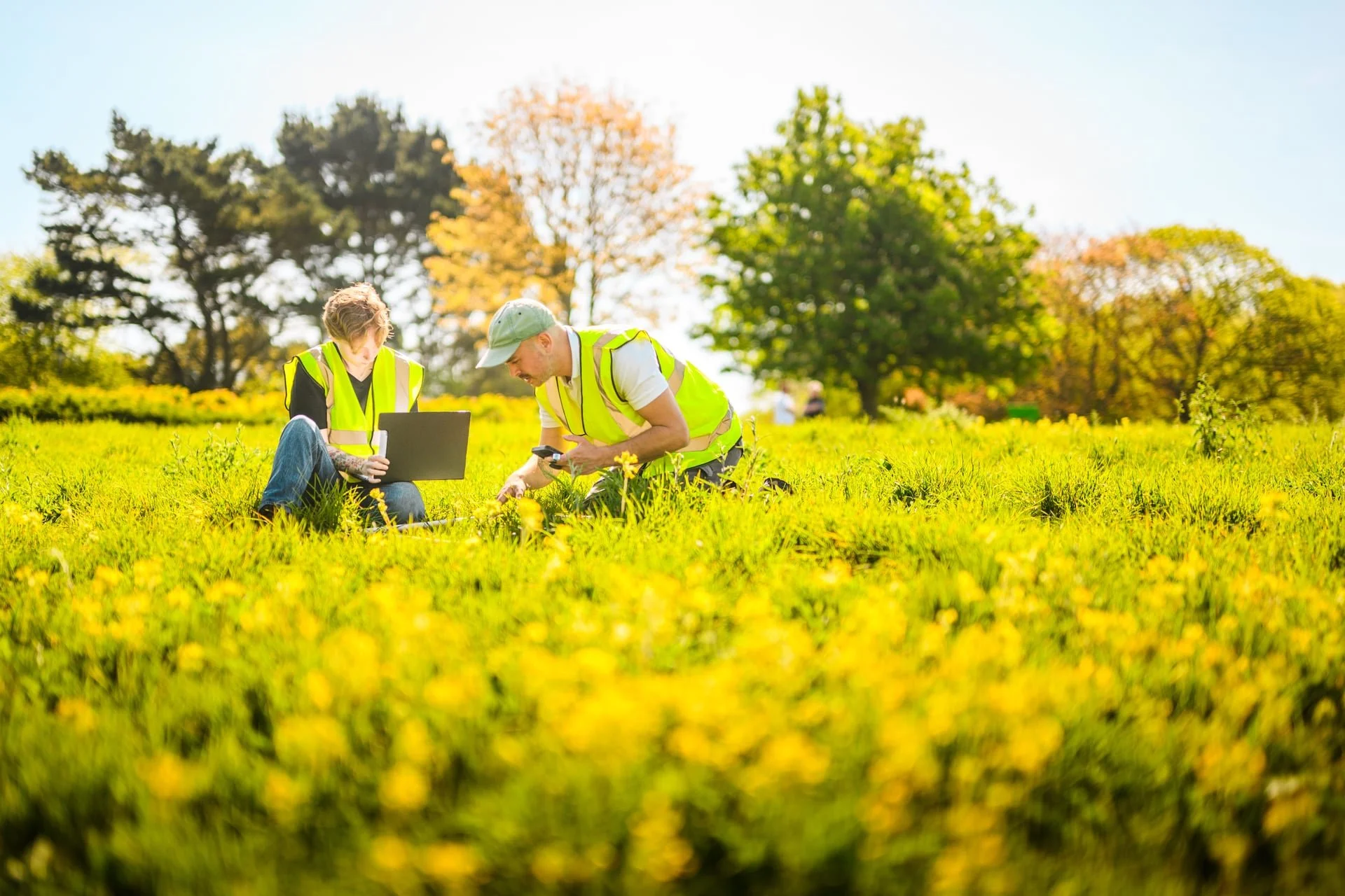
Our expert team scan your site, or we can facilitate sessions to involve your staff and local community in data collection.
Map
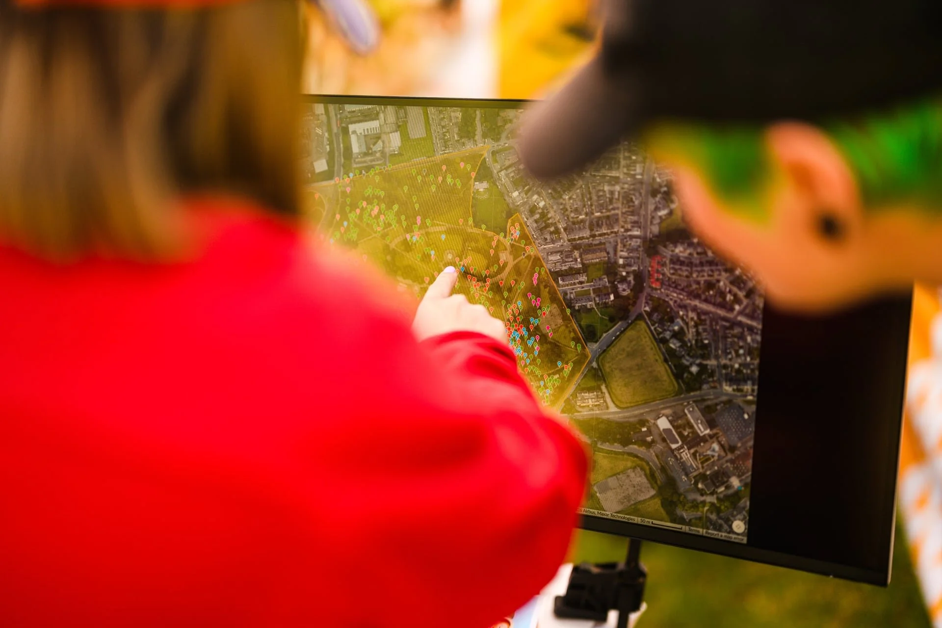
Floradex produces a comprehensive report of your site’s plant species.
We map your site’s specific local plant species to its linked insect and pollinator species.
All data contribute to the Global Biodiversity Information Facility.
Recommend
Floradex uses site data to produce a bespoke biodiversity widget dashboard of expandable grid cells, showing plant density and potential pollinator interactions, with recommendations on what to plant next based on soil pH.
Act
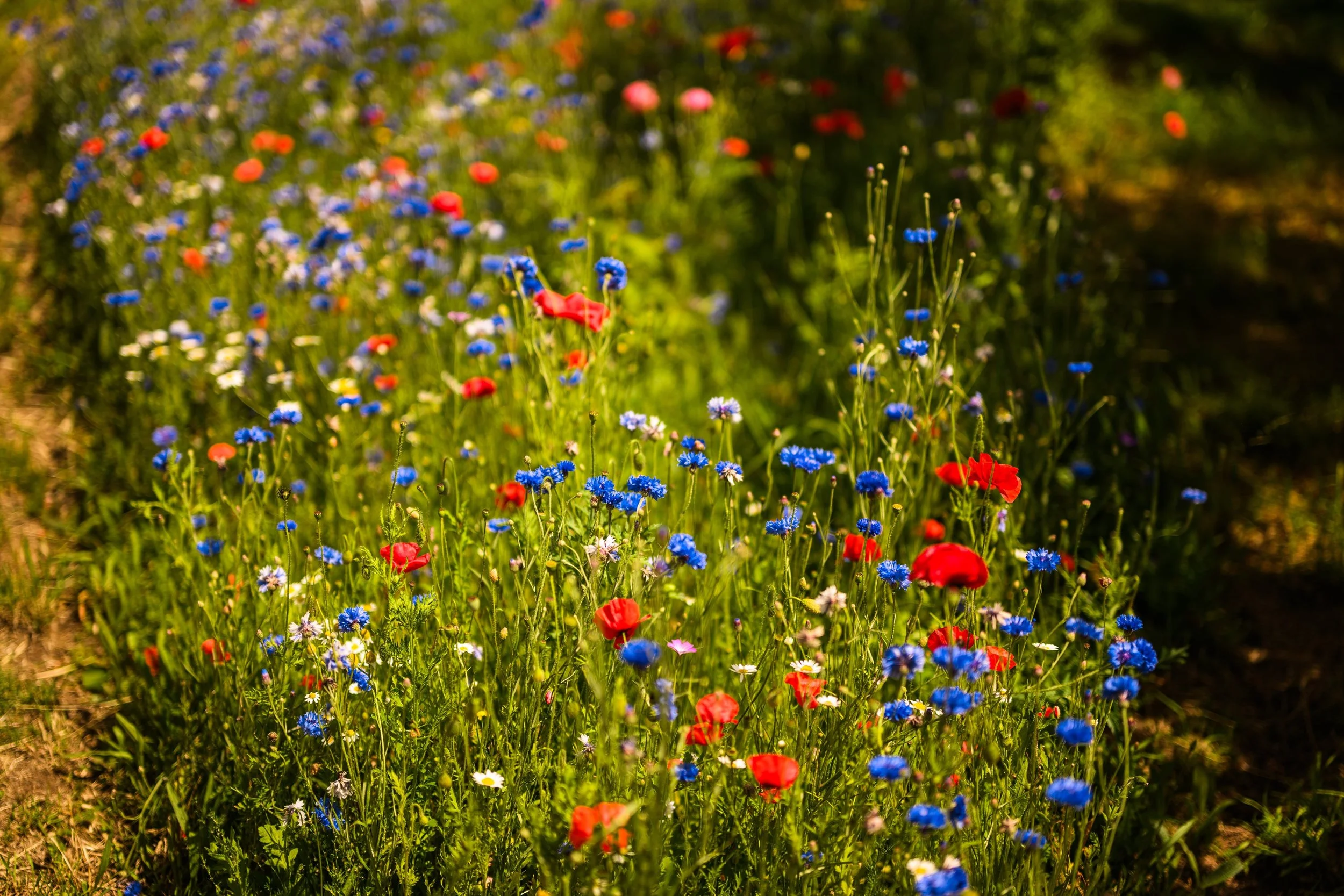
Using Floradex’s weighted data, we plant bespoke small-scale pollinator-friendly wildflower areas. These create vital habitats and food sources on your land
All data contribute to the Global Biodiversity Information Facility.
Engage
Facilitate regular sessions where community members directly participate in plant and insect monitoring, fostering education, environmental stewardship, and stronger connections to local ecosystems.
You can also communicate your biodiversity journey with customised signage.

Create your Floradex quote:
Scan
Our expert team scan your site, or we can facilitate sessions to involve your staff and local community in data collection.
Map
Floradex produces a comprehensive report of your site’s plant species.
Using species identification, we map your site’s specific local plant species to its linked insect and pollinator species.
All data contribute to the Global Biodiversity Information Facility.
Recommend
Floradex uses site data to produce a bespoke biodiversity widget dashboard of expandable grid cells, showing plant density and potential pollinator interactions, with recommendations on what to plant next based on soil pH.
Act
Using Floradex’s weighted data, we plant bespoke small-scale pollinator-friendly wildflower areas. These create vital habitats and food sources on your land
All data contribute to the Global Biodiversity Information Facility.
Engage
Facilitate regular sessions where community members participate in monitoring, fostering education, environmental stewardship, and stronger connections to local nature.
You can also communicate your biodiversity journey with customised signage.